
Trace South Gate Streets by Address
A South Gate street directory search begins with a known number, even when the goal is to understand a whole block. The assessor establishes the parcel identity. The map shows adjacent parcels. City records add permits and zoning context. The county recorder supplies transfer documents, while older reverse directories can supply named occupants. Each step adds a different kind of evidence.
Follow the trail in order and save the exact spelling, AIN, legal description, and date beside every result. A street number can change meaning after subdivision or development, but a parcel identifier and tract or lot description give later searches a firmer anchor.
- Enter the address in the Los Angeles County Assessor Portal, select the matching result, and copy the AIN, situs, legal description, and Events History numbers.
- Open the parcel map and click the next visible parcel when the question expands from one address to the block.
- Use the assessor’s lawful service channel for owner or mailing information, remembering that the public web portal has no owner-name search.
- Use an Events History document number or party name with the Los Angeles County RR/CC to request the recorded deed or related instrument.
- Compare permits, census schedules, and reverse street directories when the question is about past occupants rather than title.
South Gate Assessor Fields Set the Parcel
The Los Angeles County Assessor Portal is the core address tool behind the South Gate street directory. Its public tabs support Basic Search, Search by AIN or Address, Legal Search, and Map Search. The portal returns a parcel detail page, not a public browse of every owner on a street. Owner identity and mailing information may be suppressed from the web response and must be handled through the assessor’s lawful public channel.
Record the fields that keep later sources lined up: AIN, situs, tract and lot, parcel status, use code, year built, units, assessed values, official map, Events History, and Assessment History. AIN means Assessor Identification Number. It is the bridge between the map, parcel detail, tax tools, and a recorder request.
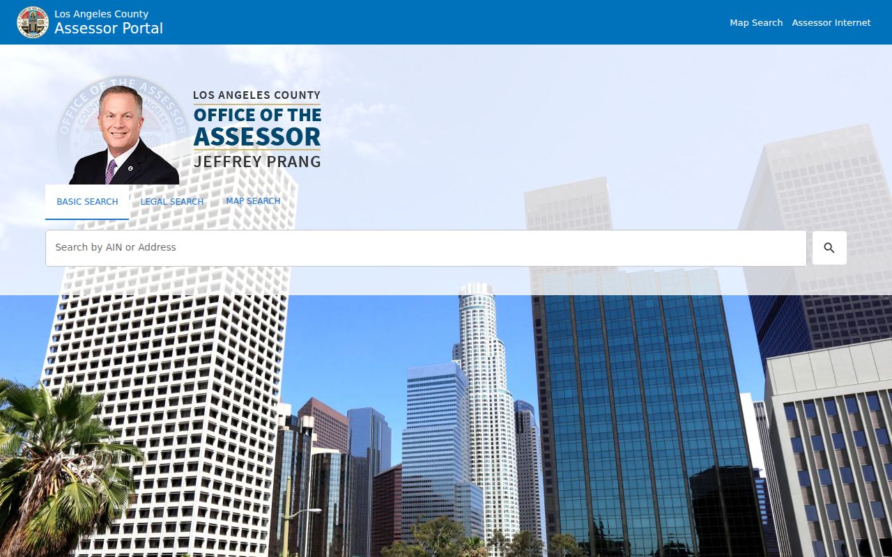
The assessor map view makes the parcel-first method concrete. A selected parcel can lead to its detail record, while nearby parcels can be reviewed one by one.
| Assessor control | Format or purpose |
|---|---|
| Search by AIN or Address | Autocomplete address or AIN, then select the matching parcel. |
| Legal Search | Tract, lot, parcel, or legal-description route when a street label is uncertain. |
| Map Search | Pan, zoom, and click a parcel for adjacent address work. |
| Events History | Recording date, document number, reassessment flag, and change details where populated. |
| Assessment History | Value and parcel-history context, not the full deed text. |
Click Through South Gate GIS Parcels
The county map and the South Gate Property Information Portal answer the spatial part of a street directory search. Pan until parcel outlines are readable, select the target parcel, and then repeat for immediately adjacent parcels. The city map can add zoning, permit, and municipal context. Visible layers and owner fields can vary, so the map is a way to identify parcels rather than a complete name roll.
Visual proximity is not always legal adjacency. Confirm the line on the official parcel map, especially where lots, alleys, rear parcels, or tract boundaries make a block look different from the street view. Save each AIN and situs separately rather than merging a whole row of homes under one guessed address.
The city GIS image shows how street-level work becomes a sequence of parcel selections. It does not turn a map click into proof of who currently lives inside a building.
The Assessor parcel-map service supplies official map-sheet context when a South Gate street boundary or tract reference is uncertain.
The county parcel-map service adds the official map-sheet context needed when a block edge or tract reference is uncertain.
Address Records Behind South Gate Streets
Several record sets can be searched or interpreted by address in South Gate, but they do not all describe the same person. The assessor connects a parcel to tax and physical facts. The recorder indexes parties to instruments. City permits identify applicants and work. Historical directories invert the question from name to street. Voter data is restricted and does not create a casual street browser.
| Record set | Keeper | Street-level value | Access |
|---|---|---|---|
| Parcel and assessment | Los Angeles County Assessor | AIN, situs, legal, use, values, event numbers | Free web parcel search; owner channel separate |
| Official parcel map | County Assessor | Boundaries, neighboring AINs, map references | Free map and PDF services |
| Recorded deed or lien | LA County RR/CC | Grantor, grantee, date, legal description | Request, counter, mail, or fax |
| Permit and inspection record | South Gate Community Development | Applicant, contractor, project, inspection dates | Free account or city request |
| Reverse directory | LAPL or library holdings | Historical occupant or business by house number | Online scan or library assistance |
The chain is address to parcel, parcel to legal description, legal description to recorded document, and then document date to historical context. A street directory becomes accurate when every link keeps its own limit.
Situs, Mailing, and Legal Descriptions
Three address forms often sit beside one parcel. Situs is the physical location. Mailing address is where tax or other correspondence is sent. Legal description identifies the land through tract, lot, block, or related language. A mailing address that differs from situs may reflect a trust, manager, agent, or owner elsewhere. It is not a reliable occupancy answer.
Old South Gate property questions often need the legal description because the area moved from ranch and tract development into a dense street grid. The AIN and tract or lot can bridge a modern street number to a map or deed when a historic source uses South Gate Gardens, Hollydale, or a nearby Los Angeles-area label.
- Parcel
- A mapped piece of land with an assessor identifier.
- Situs address
- The physical location used to describe the property.
- Plat or parcel map
- A recorded or official map showing lots, lines, and references.
- Criss-cross directory
- A reverse section organized by street and house number instead of surname.
Turn South Gate Events into Deeds
The assessor’s Events History is a bridge, not a replacement for the deed. An inspected South Gate parcel result showed recording date, sequence, reassessment flag, document number, document type, document reason, ownership or change codes, parcel count, percentage, verification code, documentary transfer tax sale price, and assessed value. Some event histories reach back decades, but depth varies by parcel.
Take the document number to the RR/CC real-estate records request. When no number is available, the recorder’s alphabetical grantor and grantee indexes require names and a date range. The recorder indexes documents by parties, not by ordinary street address, so AIN and legal description prevent a false match.
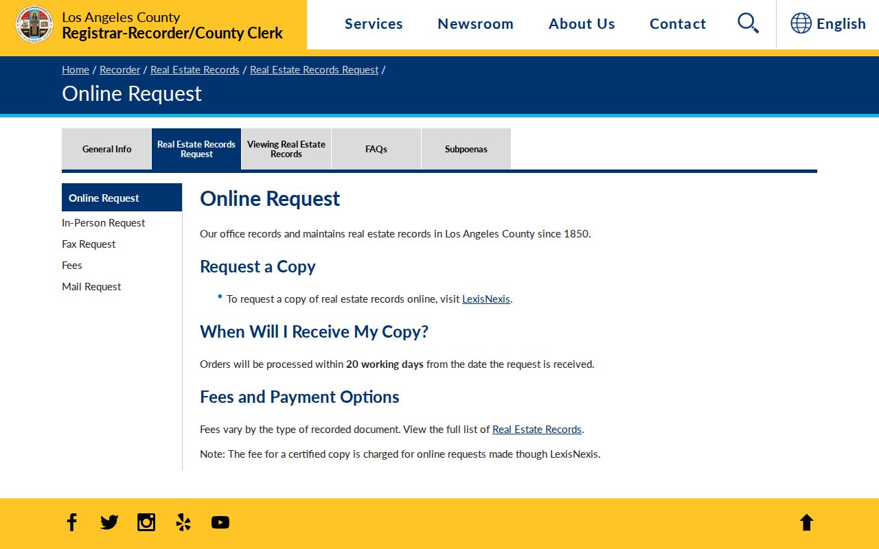
The request page shows the practical fallback when the web does not offer an open deed-name index. Online, mail, fax, counter, and Norwalk terminal channels all matter.
Note: The county’s real-estate index begins in 1850, but no single online imaging cutoff is published in the inspected official material.
South Gate Permits Show Work
The city’s Online Permit Counter and Building and Safety pages add dates that a parcel roll cannot. A permit or plan-check record may show an applicant, owner-builder, contractor, project description, application or issue date, final inspection, and project financial data. The city says a free account supports status and inspection tasks, while some applications, fee payments, and inspection scheduling follow the selected project.
An owner-builder residence-ID rule for properties with two units or fewer makes some permit records a context clue. A contractor’s license or inspection entry still does not prove that the contractor lived at the parcel. Read the named role exactly, then compare the date with the assessor event and any directory entry.
For current project status, open the South Gate Online Permit Counter before requesting a file from the city.
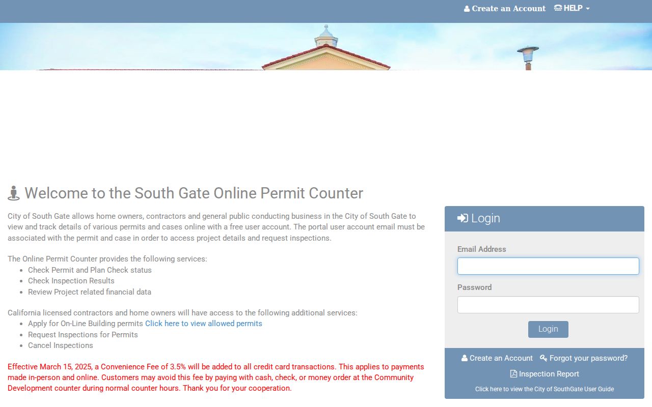
The permit counter image is useful for a street-by-street work history. It is not a substitute for the city’s records request when a public page does not expose the needed file.
The city’s Building and Safety information supplies the department context for permits, inspections, and property records.
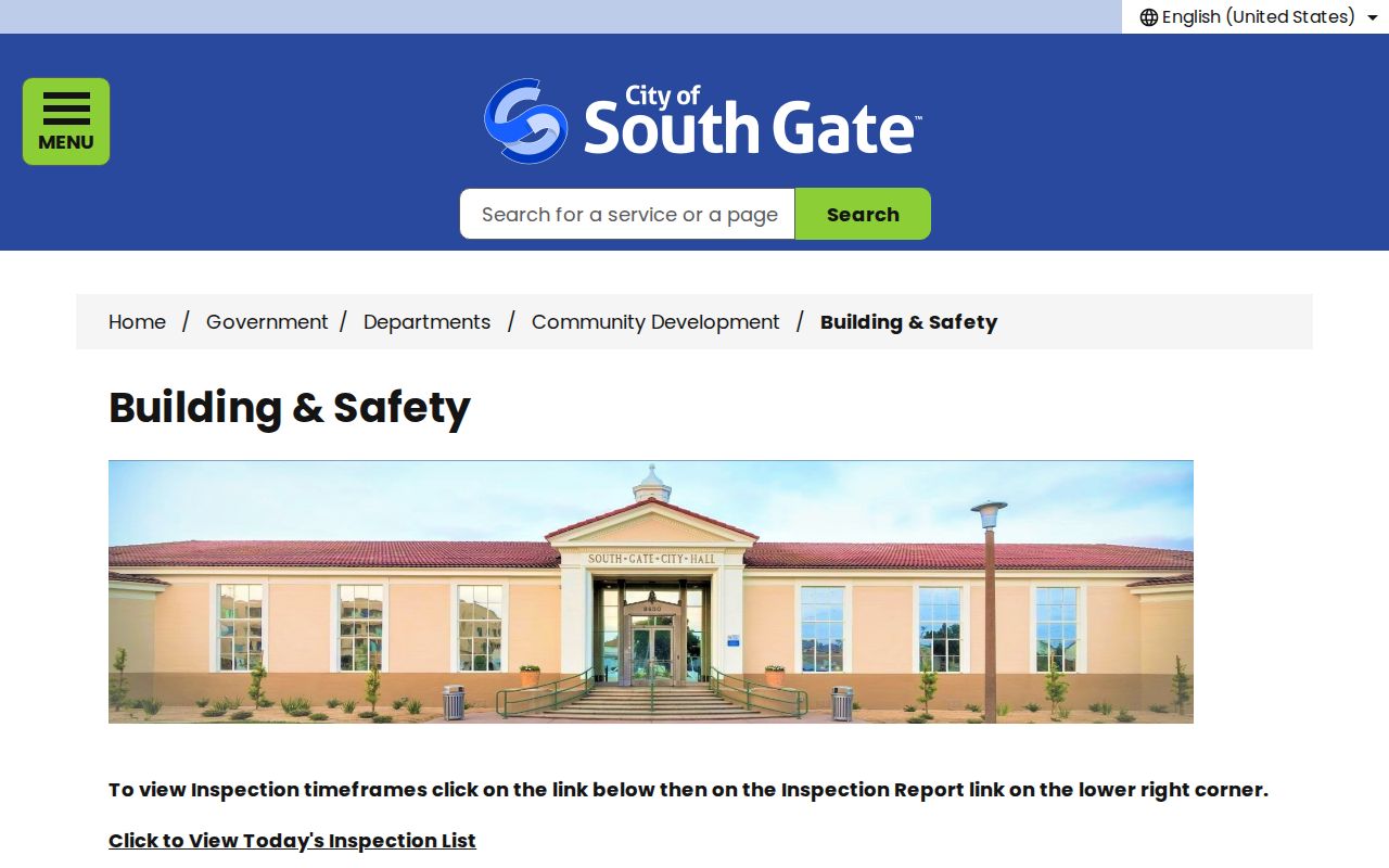
Building and Safety supplies the department context and inspection route. Keep permit evidence tied to the property and project, not converted into a personal roster.
Reverse Directories Show Past Occupants
Modern parcel records are better for land identity than for household history. The regional Los Angeles-area city and street directories at LAPL, covering 1875 to 1987, contain alphabetical name sections and street-address sections. The reverse section can turn a house number into a named occupant or business for the year printed. It can also show an “r” or “h” style abbreviation, a spouse notation, an occupation, or a nearby household number.
Coverage is not guaranteed for every South Gate year. Search both South Gate and Hollydale, inspect the volume’s contents, and scan the page image when OCR misses a surname. A directory disappearance can mean a move, death, boundary label, a skipped year, or a simple omission. The historical collection itself is described in the South Gate directory book.
South Gate Streets and Hollydale Names
South Gate’s street records reflect layered geography. South Gate Gardens promotion began in 1917, Hollydale grew as a planned community in the 1920s, and annexation left local-history sources using labels that may not match a current city database. Search alternate locality words when a directory or newspaper omits a modern South Gate heading.
Preferential-parking records also give precise street segments. The city identifies blocks on Cypress Avenue between Firestone Boulevard and Southern Avenue, parts of Calden and Beaudine Avenues, and Hildreth Avenue near South Gate Park. These documents orient a street search. They are street-status records, not resident rosters.
A legal description and parcel map can solve a naming mismatch better than guessing from a street name. Preserve the historical label beside the current AIN.
Voter Files Are Not Street Browsers
My Voter Status is an exact-match self-check. It requires the subject’s name, date of birth, and identity data, and it returns that person’s status and election information. It is not a way to list every registered voter on a South Gate street. California Elections Code section 2194 protects voter information and permits qualified access for defined election, scholarly, journalistic, governmental, political, and related purposes.
Los Angeles County’s full voter-file order requires requester information, geography, permitted purpose, certification, payment, and a CD delivery route. A countywide file and smaller precinct, district, or city files have separate listed prices. Use that route only when the statutory purpose and security rules fit. Ordinary address research should remain with the parcel map, recorder, city permit, and historical library channels.
| Question | Proper source | What it can establish |
|---|---|---|
| Which parcel is here? | Assessor and parcel map | AIN, situs, legal, boundary context |
| Who transferred title? | RR/CC deed record | Named grantor, grantee, date, instrument |
| Was work recorded? | City permit counter | Project and inspection history |
| Who appeared historically? | Reverse directory or census | Year-specific occupant clues |
Where a South Gate Street Directory Stops
A street directory cannot guarantee every person present at an address. The assessor does not create a household roster. A deed shows ownership and transfer parties. A permit names a project participant. Utility customer identities and DMV addresses are not public resident sources, and Safe at Home or protected voter addresses are intentionally shielded.
The most honest result says what the records show and what they do not. Use “associated with the parcel,” “named in a recorded transfer,” or “listed in a historical directory” instead of converting a clue into a current residence claim.
Lawful personal use. South Gate address records support property, family-history, civic, and neighborhood research. Stalking, harassment, intimidation, and efforts to bypass a confidentiality program are unlawful and harmful.