
South Gate Neighbor Research
A block-level South Gate neighbors question has several official layers. The county assessor map shows adjacent parcels and AINs. The city Property Information Portal adds zoning and permit context. RR/CC documents can identify transfer parties for selected parcels. Historical directories can show older occupants or businesses along a numbered street. Public community records may identify an officer or meeting, but not a private member roster.
The coverage table keeps those layers from being blended. A neighbor lookup can establish that parcels touch, that work occurred, or that a name appeared in a dated source. It cannot turn those clues into a current household list.
| Source | What it shows about a block | Access |
|---|---|---|
| Assessor map and detail | Adjacent AINs, situs, parcel facts, values, event numbers | Free map click and parcel search |
| South Gate Property Information Portal | Zoning, permit, and municipal parcel context | Public GIS |
| Recorder documents | Owners and transfer parties for selected parcels | Request, counter, mail, or fax |
| Permit counter | Project applicant, contractor, work, inspection dates | Free account or city request |
| Regional directories | Historical named occupants or businesses by number | LAPL or library assistance |
| Community records | Public officers, meetings, or contact points | Official or organization pages |
Select a South Gate Parcel
Begin at the target address in the Los Angeles County Assessor Portal. Zoom until parcel outlines are clear, click the target, and save its AIN and situs. Then select each immediately adjacent parcel one at a time. The documented public method is map browsing. Research did not confirm a public radius or buffer owner export.
Use the parcel map to check legal adjacency. A nearby building may sit across an alley, on a separate lot, or behind a different frontage. For each selection, keep the parcel identity separate before comparing a deed, permit, or historical directory entry.
- Search the known address or AIN and capture the target parcel detail.
- Zoom to the block and click each parcel that physically borders the target.
- Confirm the boundary on the official parcel map rather than relying on visual closeness.
- Use the AIN or document number to request a recorded transfer for a selected parcel.
- Compare dated permits or directories only after the parcel and address are matched.
Note: A map click identifies a parcel relationship; it does not reveal every person connected with the building.
Confirm South Gate Block Edges with Maps
The county parcel-map service and the South Gate Property Information Portal add different views of the same ground. Parcel boundaries, tract and lot references, zoning, and municipal layers can explain why two buildings that look adjacent are not one parcel. Preserve the exact map sheet or parcel reference when a street line is unclear.
AIN is the durable bridge. A street number can shift after subdivision or a tract change, while the AIN and legal description point back to the county record. The city map may show a permit or zoning layer, but its visible fields should not be assumed to include a protected owner or household.
| Map clue | Use in a neighbor lookup |
|---|---|
| AIN | Keeps each selected parcel separate across county records. |
| Situs | States the physical parcel location used by the assessor. |
| Legal description | Connects tract and lot language to deeds and maps. |
| Parcel line | Confirms whether the property actually borders the target. |
| Municipal layer | Adds zoning or permit context without creating a resident roster. |
Permits Explain a South Gate Block
South Gate Building and Safety records can add a timeline to adjacent parcels. The Online Permit Counter describes status, plan-check, inspection results, project financial data, some applications, fee payments, and inspection scheduling. A result may name an owner-builder, contractor, or applicant and show application, issue, or final dates.
Those roles matter. A contractor is not a household member, and an inspection date is not a move-in date. Compare a permit with parcel events, a directory year, or a photograph when the aim is to understand how a block changed. City records not already online can be requested through the city’s records channel.
South Gate History and Hollydale
Hollydale was planned in the 1920s, annexed early, and retained a distinct local identity. Tweedy, Firestone, Cypress, Calden, Beaudine, and Hildreth also carry different kinds of local-history or street-status context. Search the neighborhood label and the current South Gate label when a directory, map, or newspaper uses an older place name.
Hollydale’s water service is another example of layered geography: the city notes that Golden State Water Company serves the area rather than the main city service. Service districts, postal labels, city limits, and parcel lines can all describe one block differently. None is a shortcut to naming current neighbors.
South Gate Contacts Are Not Rosters
The research did not locate a comprehensive South Gate neighborhood-association or HOA membership directory. Public city agendas, commissions, block-watch contacts, and association officers may identify people in their official or voluntary public role. A member list should not be presumed public, and a public contact should not be recast as a household record.
Use a contact point to ask about a meeting, a public project, or a published neighborhood history. Do not ask an organization to supply private member information. When a community group has a public page, verify the date and purpose before relying on it.
South Gate public meetings
Agendas, commissions, and city notices
Official city channels
Hollydale local history
Maps, photographs, and neighborhood context
LA County Library collection
Public association contact
Use only an officer or contact point published for that purpose
Organization or city source
Membership is not presumed public
Voter Data Is Not a Neighbor Browser
California My Voter Status is a self-authentication tool. It asks for first and last name, full date of birth, and identity fields, then returns the checking voter’s status, location, party preference, polling information, and ballot-status details. It does not enumerate South Gate neighbors by block.
Qualified voter-file access requires a permitted purpose, requester certification, geography, payment, and security controls. Elections Code section 2194 protects voter information and prohibits commercial use. A block question should stay with parcel maps, permits, recorded documents, historical directories, and public community contacts.
Public Safety Searches Need Their Own Limits
The California Megan’s Law site offers public name and map or address search modes with a statutory-use warning. A public registry result is limited to the fields the official site publishes, and some people are excluded from public disclosure by law. It is not a complete criminal-history index or a list of every South Gate neighbor.
Use the site only for its stated public-safety purpose. Do not use a result to threaten, intimidate, or harass anyone. Confirm a court disposition separately because a registry entry and a court case answer different questions.
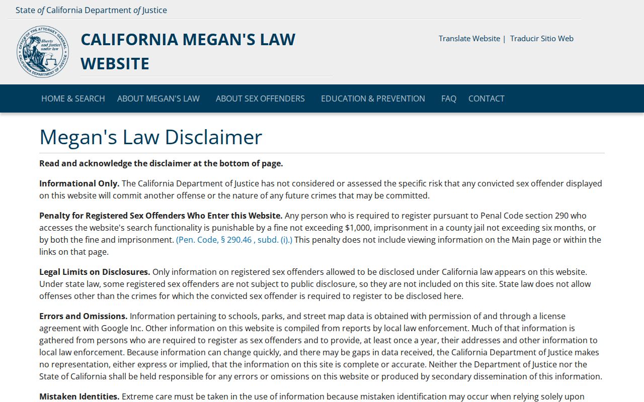
The registry image makes the boundary visible: a public-safety lookup has a defined purpose and does not create a general neighbor directory.
South Gate Neighbors and California Privacy Tools
Safe at Home can provide a substitute mailing address and confidential forwarding for eligible survivors and other protected people. A missing or substitute address is an intentional safety control, not proof that a person moved or that a record is wrong. Voter, adoption, sealed court, and DMV information have their own restrictions.
California’s DROP platform launched in 2026 to let consumers send one free deletion request to registered data brokers. DROP addresses commercial data handling, not the removal of a county deed or a city parcel record. Corrections and restrictions belong with the custodian that holds the source.
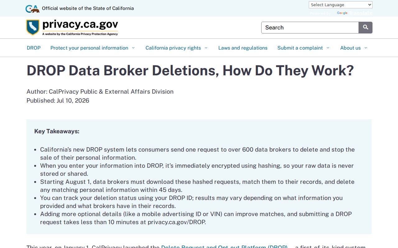
The DROP update is a timely privacy layer for a South Gate neighbors search, but it does not authorize bypassing an official confidentiality program.
Official Rolls Compared with Commercial Neighbor Tools
Official parcel and city sources identify a custodian and a defined record field. Commercial neighbor tools can blend public records with purchased data, keep stale addresses, and merge people who share a name. A commercial result may suggest a lead, but it does not cure the assessor’s missing owner field or create a reliable current household record.
Choose the official next step based on the question. A block boundary belongs to the map. A transfer belongs to RR/CC. A project belongs to the permit counter. A historical occupant belongs to a dated directory or census page.
| Source type | Useful strength | Limit | Next check |
|---|---|---|---|
| Parcel map | Adjacent land and AIN relationship | Not a household list | Parcel detail and legal map |
| Recorded deed | Named transfer parties | Ownership is not occupancy | Directory, census, or permit date |
| Community contact | Public officer or meeting information | No presumed member roster | Published organization purpose |
| Commercial neighbor tool | May suggest a spelling or former lead | Stale, merged, or unclear provenance | Return to official custodian |
The official fraud-reporting source is a safer response when a neighbor-related records solicitation asks for money or identity documents.
South Gate Neighbor Lookup Limits
A neighbor lookup cannot promise a complete list of people living in adjacent buildings. DMV addresses, utility customer identities, protected voter addresses, confidential records, and private community rosters are not general resident sources. The assessor, recorder, permit counter, and historical directory each describe a narrower relationship.
Use exact language such as “adjacent parcel,” “recorded transfer party,” “permit applicant,” or “listed occupant in a dated volume.” That precision protects both the researcher and the people represented by the records.
Lawful personal use. South Gate block research is appropriate for property history, family history, civic questions, and safety checks. Never use an address or name trail to stalk, harass, intimidate, or harm another person.
Keep a South Gate Neighbor Search
The strongest South Gate neighbors record starts with one parcel, expands only to verified adjacent parcels, and names the exact source and date for every clue. It does not turn an AIN, a permit, a public contact, or a historical entry into a claim about a current household.
When the goal expands from the immediate block to a full named street, continue with the South Gate street directory address workflow. When the goal is an older household, move to the regional directory and deed trail. Keeping those paths separate makes the neighborhood question clearer and more accurate.